By visiting our site, you agree to our privacy policy regarding cookies, anonymous tracking statistics
Earthline passionately believes that Research and Development in Geophysics plays a critical role in advancing our technologies. It is the foundation of driving innovation, and ultimately fostering business growth. Technological advancement, particularly in the field of geophysical instrumentation is a key component in our R&D strategy, as is process and product development.
Bespoke geophysical software development is a key differentiator with the creation of several data processing and interpretation innovations.
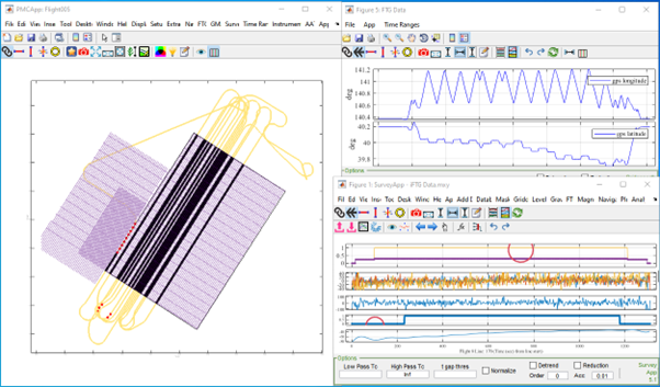
Our extensive software IP code base integrates seamlessly with Lockheed Martin’s processing tools to manage, collate, process and quality assess survey data from the FTG and eFTG gravity gradiometry instruments.
Methods and associated software development maximise the resolution and the information content within the data collected by exploiting the mathematical relationships between the numerous data channels that are recorded by FTG and eFTG instruments.


As well as R&D specifically related to the Lockheed Martin instruments, Earthline Consulting has advanced bespoke LiDAR processing methods and software as well as marine gravity quality control software to monitor survey progress and the quality of our marine acquisition projects.
Innovation in airborne survey design is another area of ongoing development particularly to minimise the impact of topographic relief on ground clearance and to circumvent areal coverage problems when surveys are conducted close to country borders etc.
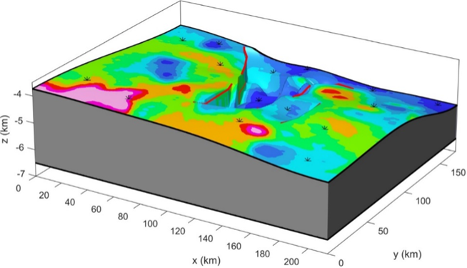
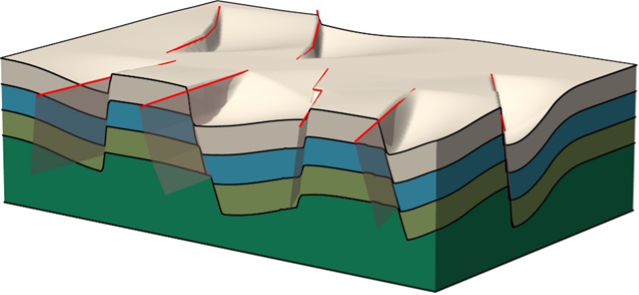
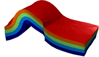
A wealth of geological and geophysical data interpretation experience has led to new feasibility modelling software where geological setting, survey design, and instrument choice can be tested for suitability at an early stage of a potential survey, thereby optimising survey design parameters and ensuring survey objectives can be achieved.
Earthline is also an industrial partner with universities developing MEMS based gravity instruments for exploration purposes and using artificial intelligence methods (AI) for the interpretation of potential field data.
For more information on how research and development in geophysics is changing the way we can explore the globe, contact our team today.