By visiting our site, you agree to our privacy policy regarding cookies, anonymous tracking statistics
When it comes to geophysical data processing, Earthline Consulting has a team of expert data processors with over 15 years of combined experience. We can help transform and enhance your non-seismic data, regardless of its source.
One of our strengths is in the increasingly important field of near real-time processing of gravity gradiometry, conventional gravity and magnetics data. We work in applications where accurate, reliable, and rapid processing is an absolute requirement.
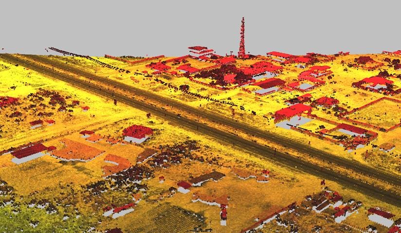
We use both bespoke proprietary and global industry standard software in earth mapping and modelling to optimise our analysis and visualisation of gravity gradiometry, conventional gravity, magnetic, LiDAR, GPR, radiometric and magnetotelluric (MT) data.
We help to solve geophysical data processing challenges for our clients by:
This way, we maximise the accuracy of your interpretations that can contribute to an effective exploration program.

Our experts can provide quality control (QC) during airborne and marine data acquisition, enabling us to provide the highest quality survey data results extremely rapidly.
Typically, airborne data have been QC’d and interim processed in the field using Fast Fourier Transform (FFT) methods within 24 hours of acquisition. This enables us to provide our clients with provisional processed results rapidly, allowing the option to refine the acquisition footprint during the acquisition program.
Marine data can be QC’d on a daily/weekly basis depending on the client’s requirements, and interim processing results can also be produced.

Earthline understands that sometimes you need your data to be processed in-house, either because of data security or the need to train staff. To enable this, we can deploy our experienced data processors to work in your offices.
We can also undertake on-the-job training (remotely or in-house) tailored to your needs to help understand procedures, assist in workflows, and to maximise understanding of your processed data.
We have experience in working with legacy data, reprocessing, merging and data management.
Our global knowledge of existing geophysical datasets allows us to evaluate and combine available datasets from various sources.
Some examples of geophysical software tools we have developed:
