By visiting our site, you agree to our privacy policy regarding cookies, anonymous tracking statistics
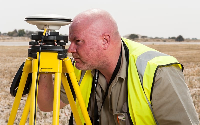
At Earthline Consulting, Ground Geophysical Surveys are one of the areas we specialise in.
Ground geophysical surveys allow us to examine the subsurface of the Earth with minimal disruption. These surveys are useful for gaining insight into geological structure, as well as minerals and other objects such as pipes and tanks. They are also used for archaeological surveys.
This information is used to construct a picture of subsurface faults, structures and lineaments, which can then be used to accurately identify a variety of oil, gas, groundwater and mineral targets.
At Earthline Consulting, we will advise on the appropriate type of ground geophysical survey for different applications.
Whatever the nature of your survey, we have the technical knowledge and capability to conduct the survey in a timely manner and provide you with accurate and highly reliable results.
Similar to airborne magnetic surveys, land magnetic methods are a cost-effective ground geophysical survey technique. They are used for measuring the strength of the Earth’s magnetic field and are suitable for applications where a high level of detail is required.
While airborne magnetic data provides superb quality and is faster to acquire, ground magnetic surveys can provide a higher resolution due to tighter line spacing and the shorter distance to the source.
The higher accuracy and tighter line spacing are especially important for detecting shallow faulting, bedding, and other subsurface discontinuities where the presence of magnetic minerals and their associated rock types, in contrast with surrounding sedimentary rock, produces a measurable signal.

Ground gravity survey methods are used to effectively measure very subtle subsurface density changes in rocks. They provide very detailed information in complex settings where other methods might fail to satisfactorily resolve the problem.
From structures containing hydrocarbons to metal ore deposits, salt domes, sediment thicknesses and hydrogeological aquifers, the size and location of numerous geological structures can be determined using this method of surveying.
The fact that the gravity field intensity rapidly decreases with distance from the source means that ground methods can provide unrivalled resolution to address complex and shallow objectives. In these instances, the use of airborne surveys is not advisable due to the small size of the area of interest or other logistic reasons.
The ground gravity method also allows several configurations, geometries, and line spacings that can be tailored to suit the needs of the survey.
GPR is a non-intrusive ground geophysical survey method that uses high-frequency electromagnetic pulses to acquire very high-resolution data in a short time.
The data can be used to rapidly produce 2D profiles (that can be integrated and presented as 3D blocks) with an appearance similar to seismic profiles, providing very detailed shallow information where the contrast of permittivity of the material allows it.
GPR can map bedrock, soils, groundwater and ice, the transition between sedimentary and metamorphic/igneous rocks, alluvial gravel beds, buried tunnels, etc, all at shallow levels (up to 200m).
If you require a ground geophysical survey for any subsurface investigation, contact the team at Earthline Consulting, and we can help determine which type of survey would best suit your needs.