By visiting our site, you agree to our privacy policy regarding cookies, anonymous tracking statistics
26th – 28th February 2024


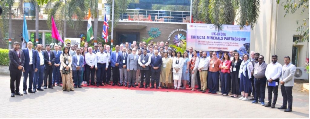
In February 2024, Earthline Consulting were part of the UK-India Critical Minerals Intergovernmental Workshop.
Critical metals such as copper, cobalt, rare-earth and platinum group metals are increasingly in global demand as the need for raw materials for low-carbon technologies such as wind turbines, solar panels, batteries, magnets, and EV vehicles increases year on year.
Recognition in India and the UK of the importance of building supply chain resilience in this area means that both countries have now released critical mineral strategies addressing areas such as exploration, mining, smelting, processing, and recycling.
The aims of the Critical Minerals workshop were to gain research, innovation and policy insights on critical mineral exploration and extraction as well as business opportunities in both countries. The ambition is to create a UK-India community of academics, innovators, investors and companies to address challenges and identify best practices and commercial opportunities.
This event took place at the Technology Business Incubator, in Bhubaneshwar, India with themes including critical mineral policy, extraction and surveying methods, solutions and technologies in these areas.
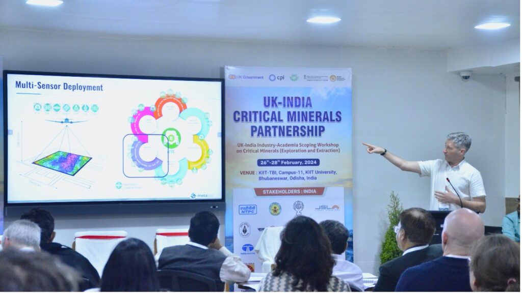
Earthline’s Jon Watson was invited to present at the Critical Minerals Exploration Challenge, which focussed on research and innovation partnership.
A question was asked during the morning session by Josh Bamford, Head of Tech & Innovation at the British High Commission New Delhi, “How do you prioritise exploration in an area 3x size of the UK?”.
Jon’s talk addressed this point specifically by explaining how airborne geophysics offers the ideal solution for large, data-sparse areas. The ability to acquire multiple geophysical measurements, including gravity gradiometry, scalar gravity, magnetics, gamma-ray spectrometry, LiDAR from a single aircraft, not only offers rapid data acquisition (often over 1,000-line km’s per day), but also at low-cost, with minimal environmental footprint.
Regional surveying over larger areas can produce a daily fast-track subsurface image of the area flown, allowing the prioritising of denser acquisition over identified areas of interest, and in turn limiting acquisition over areas that seem less prospective. Once processed and interpreted, targets can be identified for further land-based exploration and drilling.
Earthline works with Governments to map large areas of sovereign territory such as the survey acquired in the Western Desert of Egypt where an area of over 110,000 km2 was acquired in about 35 flights. The team identified previously unexplored Pan-African and Arabian shield trends, and the uplift from the legacy gravity data to the enhanced full tensor gravity gradiometry data (eFTG) data has been quite remarkable.

